Home
Login
CCR Gallery
Photos from users of myccr.com
MyCCR Home Page
Album list
Last uploads
Last comments
Most viewed
Top rated
My Favorites
Search
Home
>
Canoe Routes
>
Quebec
FILE 272/2779
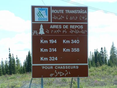
Start of Transtaiga Road
http://maps.google.com/maps?q=53+19+28.23N,77+26+27.41W&t=h&z=12
File information
Filename:
0077LK_Transtaiga_Road.jpg
Album name:
wolverine
/
Quebec
Keywords:
Transtaiga
Photo Credit:
Lester Kovac
Date:
July 27, 2007
Place Taken:
53:19:28.23 N 77:26:27.41 W
Filesize:
341 KiB
Date added:
Jan 29, 2008
Dimensions:
1280 x 960 pixels
Displayed:
727 times
EXIF Image Height:
960 pixels
FlashPix Version:
version 1
ISO:
100
Resolution Unit:
Inch
Y Resolution:
72 dots per ResolutionUnit
YCbCrPositioning:
Datum Point
URL:
http://gallery.myccr.com/displayimage.php?pid=1519
Favorites:
Add to Favorites


.jpg
Filesize=395KiB
Dimensions=1600x1200
Date added=Feb 15, 2008")
