CCR Gallery

Photos from users of myccr.com
Home > Other Pics > Miscellaneous

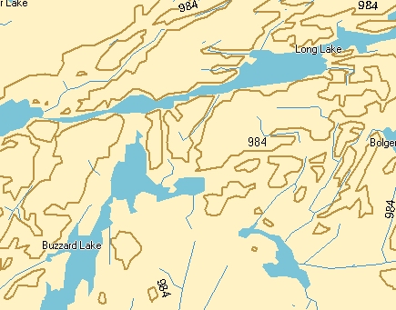
Fuzzy maps - Garmin topomap

if you were out in the field, it would tell you just fine where in relationship to the large lakes and the elevation lines you are, but there is no hint of the wet obstructions that are ahead of you as you are trying to cross the land.

14.jpg Tarp.jpg IMG_0294.JPG long-buzz-mcgee-garmin.jpg Imgp1341.jpg 12.jpg Igloo1.jpg
File information
Filename:long-buzz-mcgee-garmin.jpg
Album name:erhard / Miscellaneous
Rating (1 votes):33333(Show details)
Filesize:109 KiB
Date added:Sep 12, 2008
Dimensions:435 x 341 pixels
Displayed:184 times
EXIF Image Height:341 pixels
Resolution Unit:Inch
Y Resolution:72 dots per ResolutionUnit
YCbCrPositioning:Center of Pixel Array
URL:http://gallery.myccr.com/displayimage.php?pid=1882
Favorites:Add to Favorites