Home
Login
CCR Gallery
Photos from users of myccr.com
MyCCR Home Page
Album list
Last uploads
Last comments
Most viewed
Top rated
My Favorites
Search
Home
>
Other Pics
>
Miscellaneous
FILE 200/249
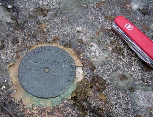
Geodesic marker
On Paul Lake, part of the Sturgeon River in the northern Temagami area
File information
Filename:
IMGP0110.JPG
Album name:
erhard2
/
Miscellaneous
Place Taken:
100m south of the northern campsite on Paul
Filesize:
95 KiB
Date added:
May 08, 2010
Dimensions:
574 x 438 pixels
Displayed:
340 times
Digital Zoom Ratio:
0
EXIF Image Height:
438 pixels
FlashPix Version:
version 1
Resolution Unit:
Inch
Saturation:
0
Y Resolution:
72 dots per ResolutionUnit
YCbCrPositioning:
Center of Pixel Array
URL:
http://gallery.myccr.com/displayimage.php?pid=2310
Favorites:
Add to Favorites