|
|
|
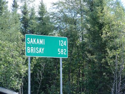
Transtaiga road sign
|
Start of Transtaiga Road, Northern Quebec
http://www.panoramio.com/map/#lt=53.324992&ln=-77.439336&k=2&z=6&tab=2
http://www.topozone.com/map.asp?lat=53.324992&lon=-77.439336&s=50&symshow=y&size=x&u=4&datum=nad83
|
|
| File information |
| Filename: | 0078LK_Transtaiga_Road.jpg |
| Album name: | lllynette / Quebec |
| Rating (2 votes): |   (Show details) (Show details) |
| Keywords: | Transtaiga / Quebec |
| Photo Credit: | Lester Kovac |
| Date: | July 27, 2007 |
| Place Taken: | 53:19:29.97 N 77:26:21.61 W |
| Route Name: | Transtaiga |
| Filesize: | 324 KiB |
| Date added: | Feb 15, 2008 |
| Dimensions: | 1280 x 960 pixels |
| Displayed: | 935 times |
| EXIF Image Height: | 960 pixels |
| FlashPix Version: | version 1 |
| ISO: | 100 |
| Resolution Unit: | Inch |
| Y Resolution: | 72 dots per ResolutionUnit |
| YCbCrPositioning: | Datum Point |
| URL: | http://gallery.myccr.com/displayimage.php?pid=1533 |
| Favorites: | Add to Favorites |
|

|
|